Leave-no-one-behind policy update on Mt Fuji eruption strategy
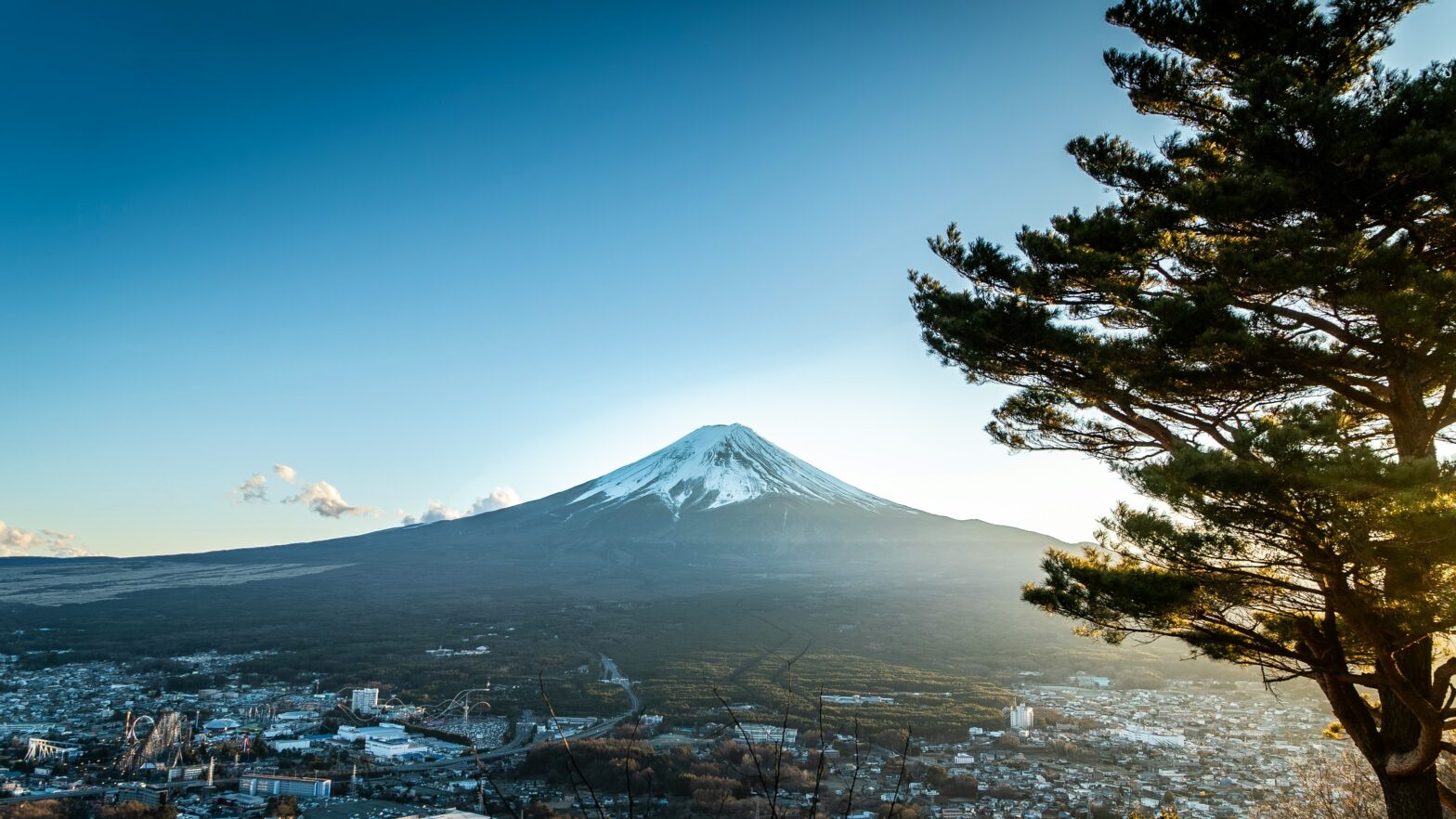
No stranger to volcanoes, the populace living in Mt Fuji’s immediate vicinity must heed a new evacuation rule in the event of an eventual eruption, according to the updated recommendations set by the government. Fujisan is akin to a ticking time bomb predicted to go off in our lifetime.
The newest evacuation plan since 2005 is based on a 2021 revision of the regional volcanic hazard map and new data collected on subterranean activities. Though Fujisan has not erupted for over three centuries, the misnomer of dormant volcanoes ignores the cumulative evidence and scientific updates, projecting a different picture than what may flow on the surface.
And what could flow after an eruption appears more apocalyptic with the latest information. Analytical data from computer simulations of lava and pyroclastic flows described an augmented life hazard where the flows accelerate higher and cover significantly more ground than previously estimated.
A toboggan run might help visualise how accumulated snow could melt and transform into an icy mudflow, speeding down along rivers and valleys. The snowmelt would drag down volcanic debris like a glacial landslide and bury whole communities and infrastructure. Volcanic ash could also travel vast distances by wind and fall onto major urban areas, including Tokyo, causing ripple effects across Japan.
Scientists estimated that the lava will spread quicker than in previous prediction models, from 700 million cubic metres to 1.3 billion cubic metres. Flowing toxic gases and dangerous debris will cover 10 million cubic metres–roughly four times more than previously thought–destroying much of Shizuoka and several cities in neighbouring Yamanashi prefecture.
The new Fujisan Hazard Map is a set of topographical images showing colour-coded zones. One image indicates possible crater areas for small to large-scale eruptions while another shows six categories of lava flow impact. Based on records dating back to December 1707, this two-year project by the Fujisan Volcano Disaster Prevention Council has reevaluated and redefined evacuation target areas and priorities.
Areas 1 to 6 on the updated evacuation map are defined below in increasing risk levels.
Area 6: Lava flows may take seven or more days to reach this area and continue up to 57 days.
Area 5: Between 24 hours and seven days to impact
Area 4: Between three hours and 24 hours to impact
Area 3: Within three hours of impact
Area 2: Pyroclastic flows and volcanic rocks may strike at any time.
Area 1: Crater or flow source
Desperately attempting to escape the tsunami caused by the Great East Japan Earthquake in 2011, almost all affected residents used their motor vehicles, congesting traffic and preventing people from immediate impact areas from reaching safety in time.
Therefore, evacuation by car, for example, has changed to evacuation on foot, mandating obligatory non-use of four-wheel motor vehicles for residents in relatively safer areas—most likely Area 3—ideally improving the chance of escape for residents in immediate danger.
Still, the Fujisan Volcano Disaster Prevention Council has recommended that relevant municipalities, each defined by unique geographic and infrastructural characteristics, take administrative action to educate their residents regarding the leave-no-one-behind policy to ensure safer evacuation from Fujisan to Tokyo.